Contra Costa County
Orinda
The first stop past the Caldecott Tunnel, with parkland on every side and BART to San Francisco in about twenty minutes.
 Keller Williams Realty East Bay
 Locations
We serve 16 towns across Contra Costa and Alameda counties, from Berkeley and Oakland over the hills to Walnut Creek, Danville, and Pleasanton.
West of the Caldecott Tunnel, streets are older and closer to the water. East of it, the land opens into the I-680 corridor, with Mount Diablo over the whole eastern half. Where a town sits against BART, CA-24, I-680, and I-580 shapes what a given budget reaches.
Contra Costa County
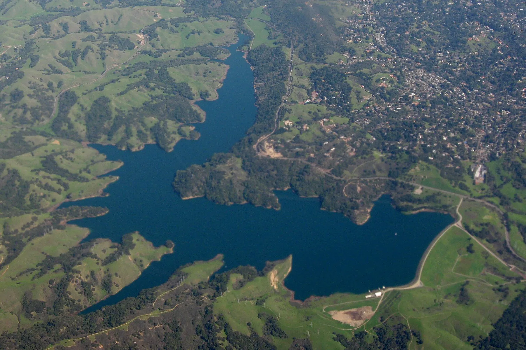
The first stop past the Caldecott Tunnel, with parkland on every side and BART to San Francisco in about twenty minutes.
Contra Costa County
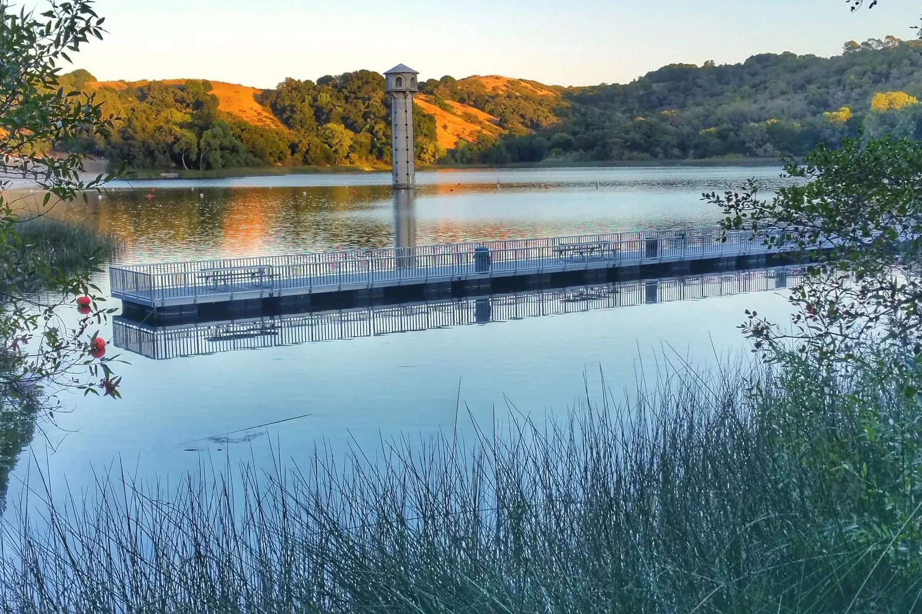
A reservoir loop, a downtown along Mt. Diablo Boulevard, and BART about thirty minutes from Embarcadero.
Contra Costa County
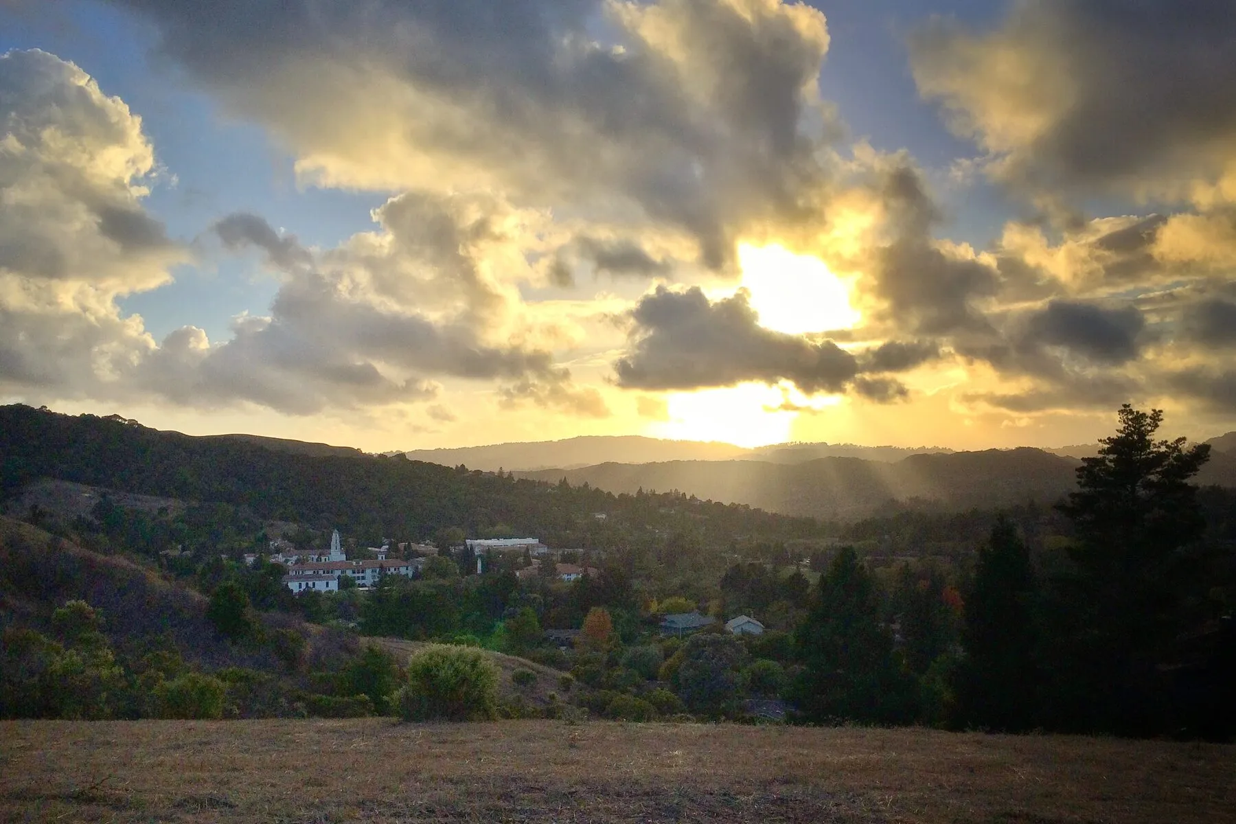
A college town in a bowl of hills, with no freeway through it and a rail-trail instead.
Contra Costa County
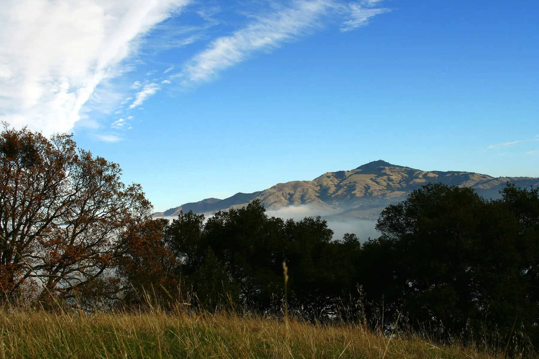
Unincorporated and low-density, between Walnut Creek and Danville, with the Iron Horse Trail running through.
Contra Costa County
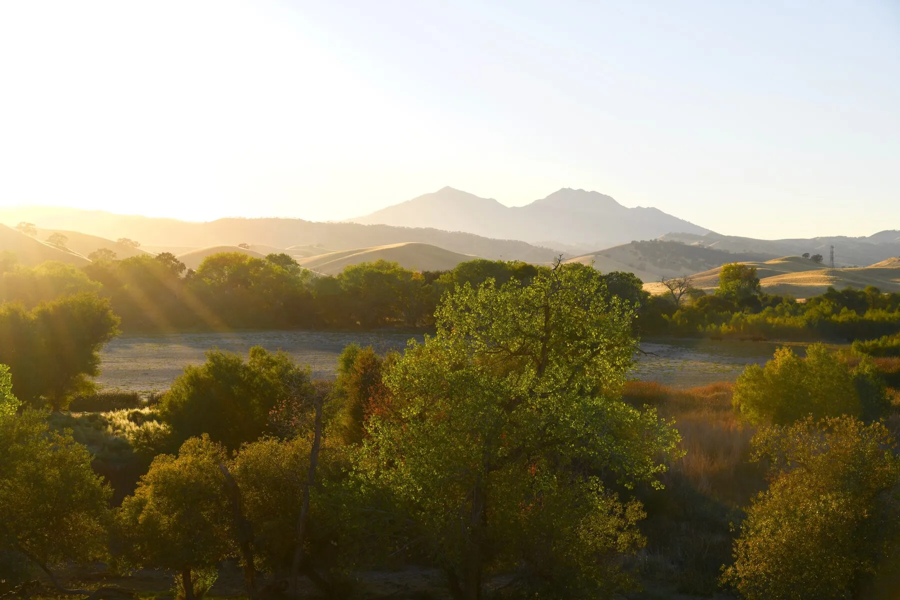
A small unincorporated community on the road up Mount Diablo, built around a country club that dates to the 1910s.
Contra Costa County
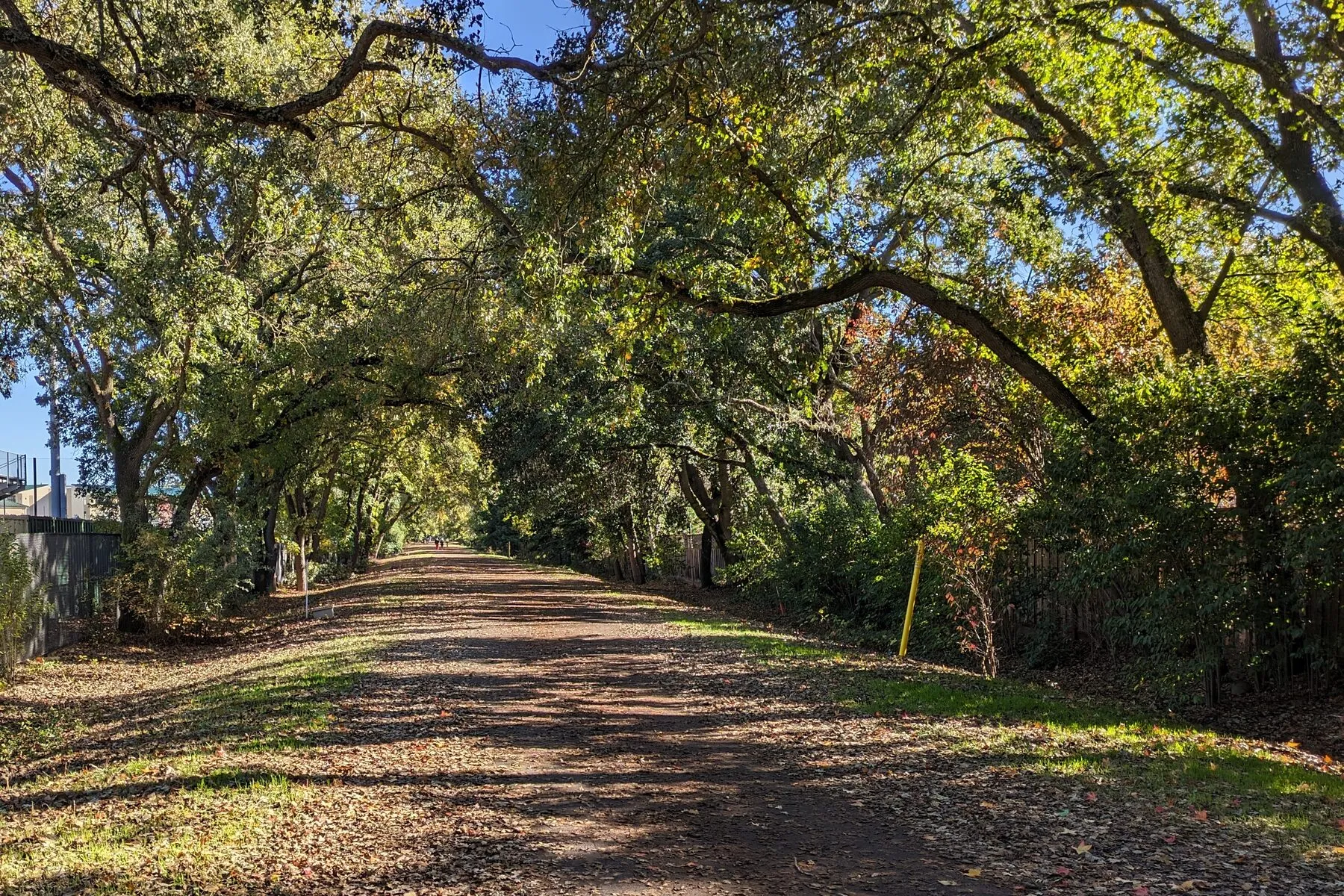
An old downtown on Hartz Avenue, the Iron Horse Trail through the middle, and Mount Diablo out the back door.
Contra Costa County
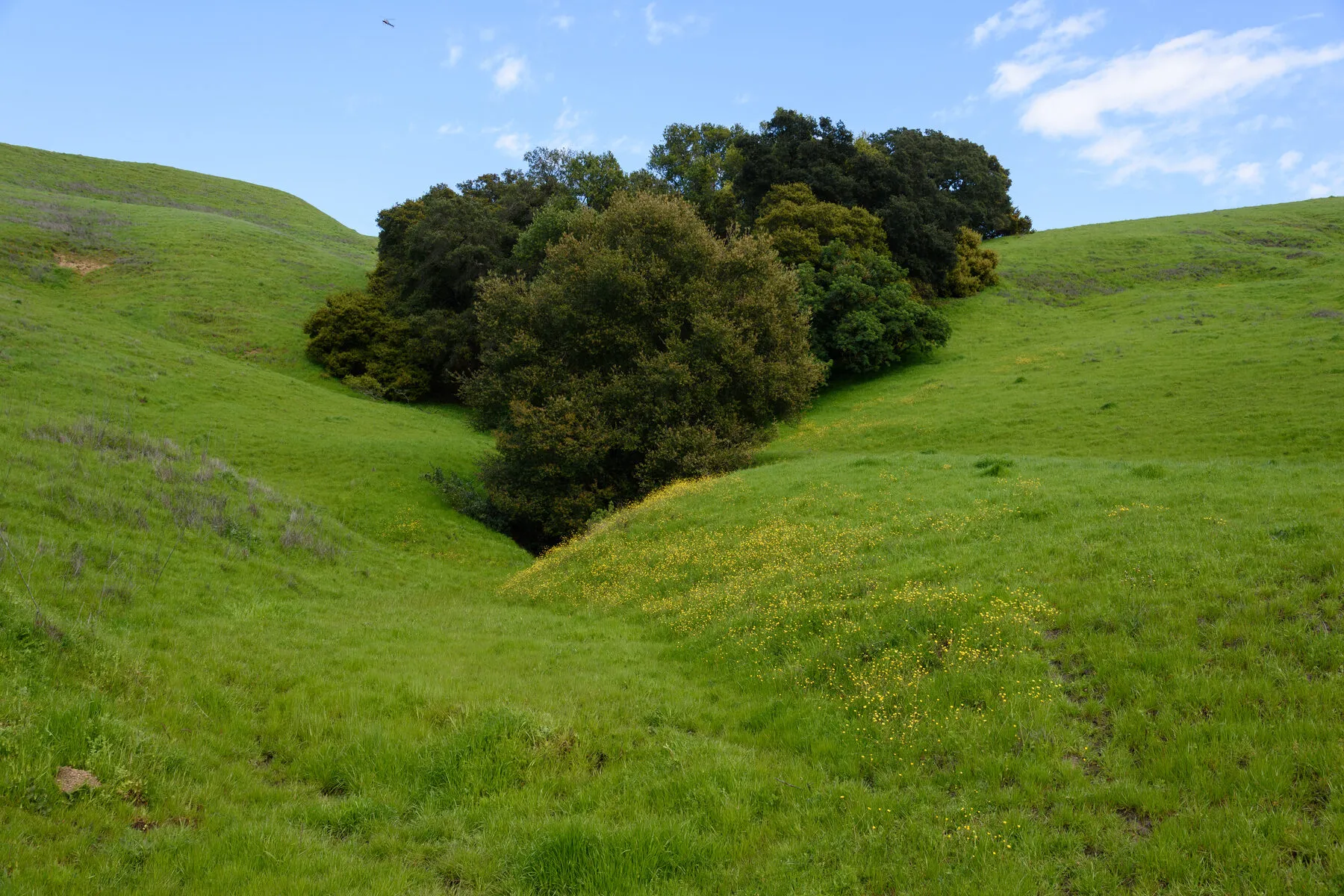
Two freeways, BART three blocks from downtown, and a ridge trail fifteen minutes east.
Contra Costa County
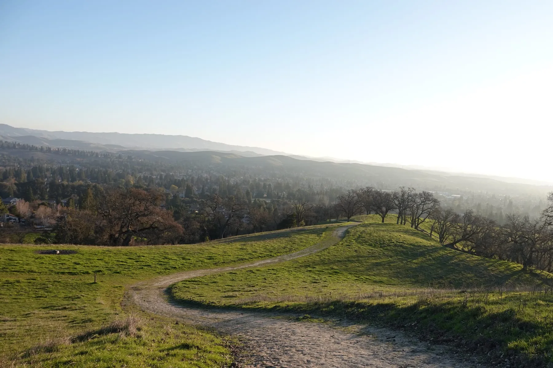
Bishop Ranch came first and the city grew around it, with the Iron Horse Trail running north through town.
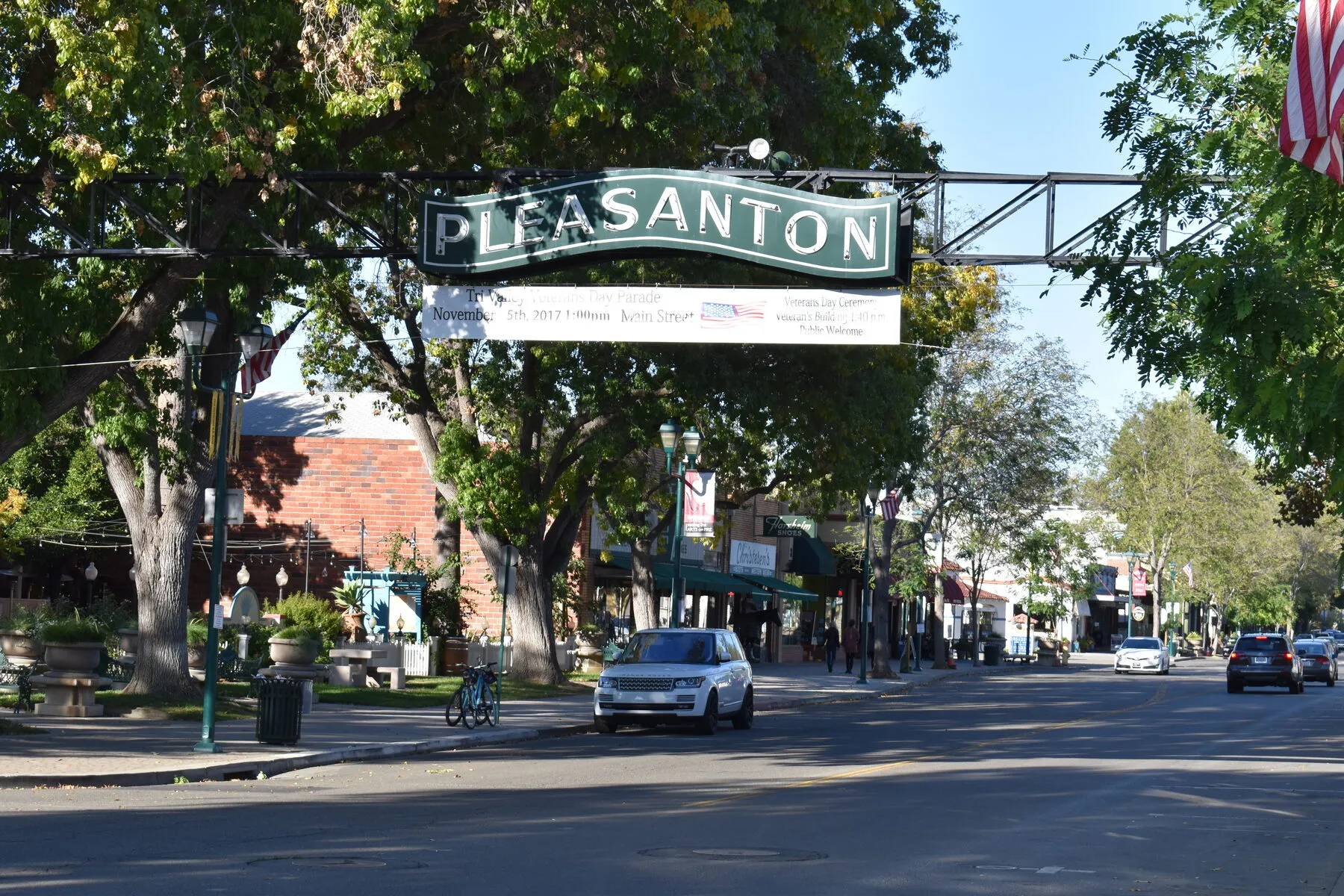
Alameda County
A 19th-century Main Street, the county fairgrounds, and both BART and ACE trains.
On the map
Select a pin to open that town’s page. The same towns are listed by county below the map.
Map of the service area. The towns are linked below.
Choosing a town
Start with the commute, the space you need, and the budget. We will narrow the map from there.