Contra Costa County
Danville
An old downtown on Hartz Avenue, the Iron Horse Trail through the middle, and Mount Diablo out the back door.
 Keller Williams Realty East Bay
Contra Costa County
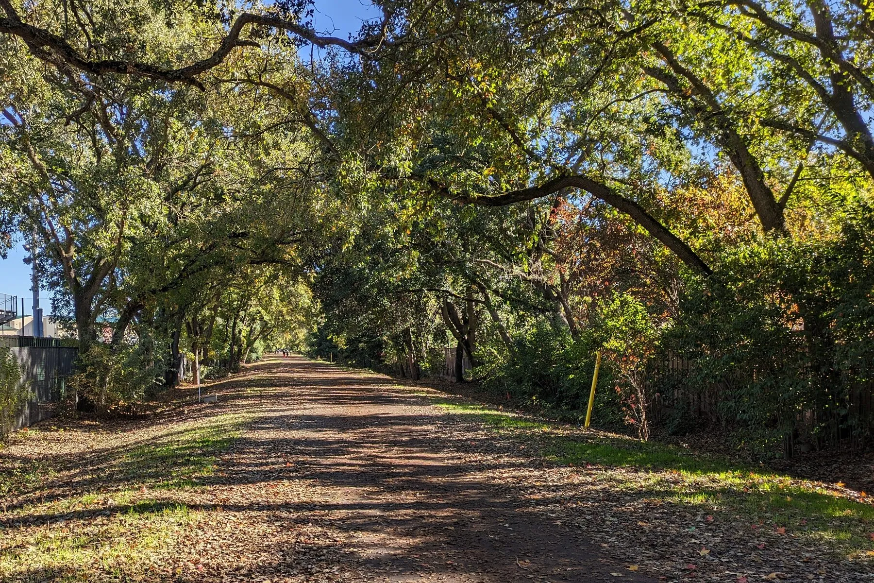
Unincorporated and low-density, between Walnut Creek and Danville, with the Iron Horse Trail running through.
Photo: John Morgan CC BY 2.0
Alamo is unincorporated, with no city hall and no downtown to speak of, and that is largely the point. It runs along Danville Boulevard between Walnut Creek and Danville, with bigger lots, more trees, and fewer streetlights than either neighbor, and Walnut Creek BART about ten minutes north.
Round Hill climbs east toward the country club of the same name. Stone Valley runs along the road that crosses the freeway and heads west into the hills. Westside Alamo is the older, more wooded stretch between Danville Boulevard and the ridge.
Being unincorporated matters practically: county services, county permitting, and county road maintenance rather than a city’s. Schools are San Ramon Valley Unified, same as Danville.
On the map
Map of the service area. The towns are linked below.
Nearby
Contra Costa County
An old downtown on Hartz Avenue, the Iron Horse Trail through the middle, and Mount Diablo out the back door.
Contra Costa County
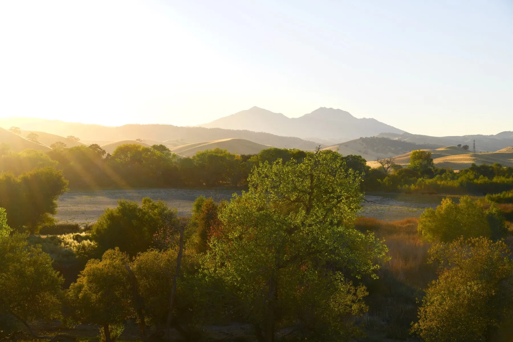
A small unincorporated community on the road up Mount Diablo, built around a country club that dates to the 1910s.
Contra Costa County
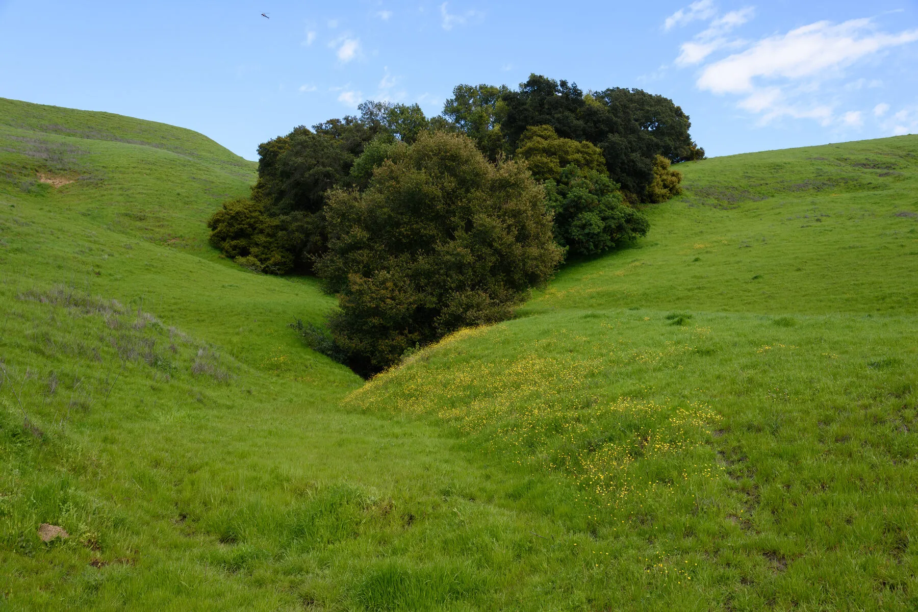
Two freeways, BART three blocks from downtown, and a ridge trail fifteen minutes east.
Begin
A quiet first conversation — about your timing, your home, and what you want next.