Contra Costa County
Walnut Creek
Two freeways, BART three blocks from downtown, and a ridge trail fifteen minutes east.
 Keller Williams Realty East Bay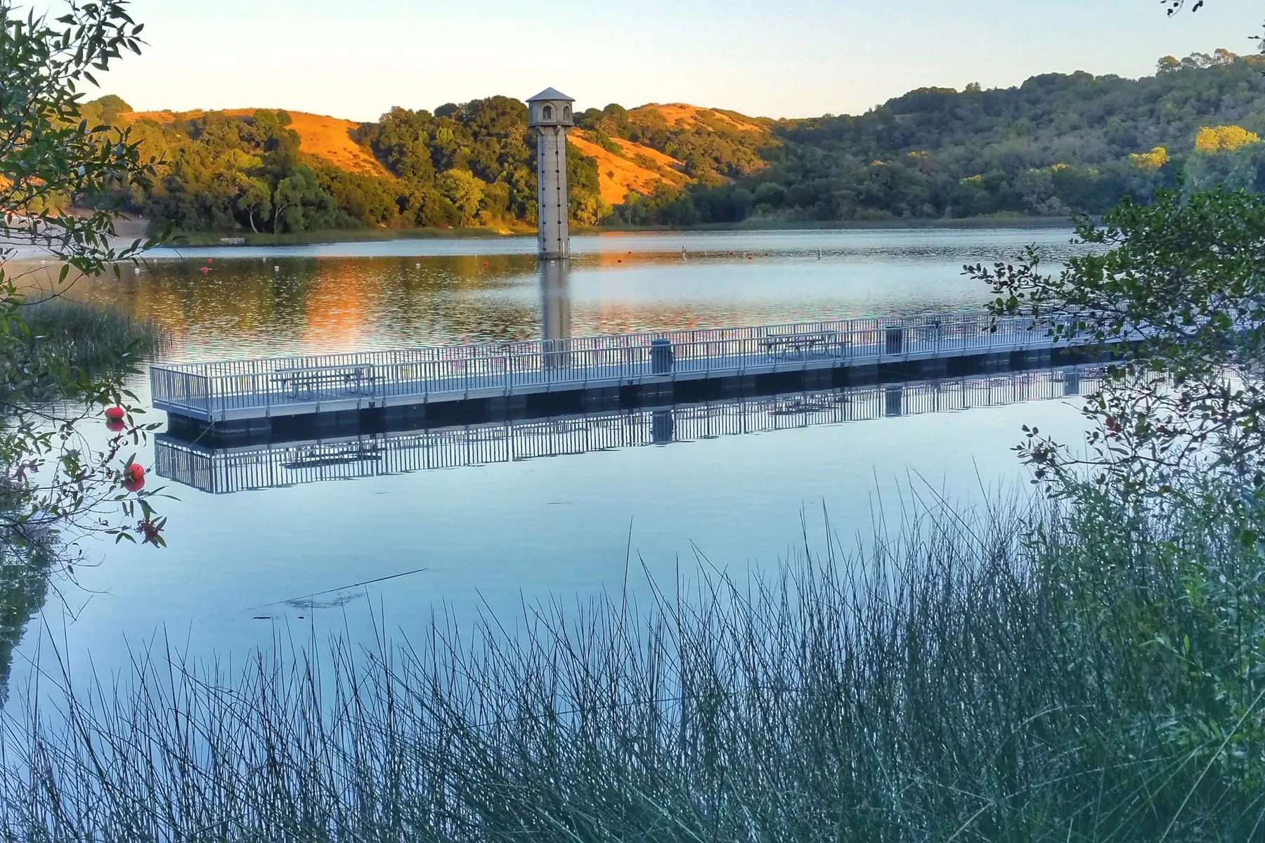
Contra Costa County
A reservoir loop, a downtown along Mt. Diablo Boulevard, and BART about thirty minutes from Embarcadero.
Photo: Calmuziclover CC BY 2.0
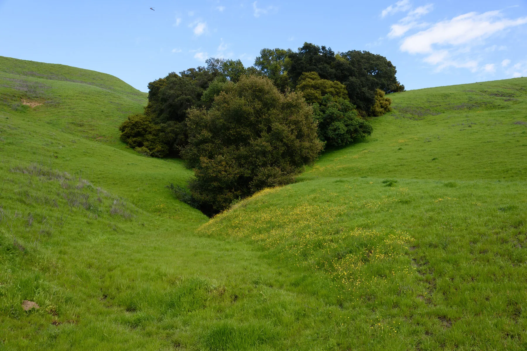
Lafayette pairs oak hills and a reservoir loop with a half-hour BART ride to downtown San Francisco. The town runs along one long street, Mt. Diablo Boulevard, with the station tucked just north of it.
Burton Valley spreads south toward Moraga around its own elementary school. Happy Valley climbs north of the boulevard. Reliez Valley runs toward Pleasant Hill, and the Trail Neighborhood is the pocket right along the old rail corridor, close to both the trail and downtown.
Lafayette is one of three towns feeding Acalanes Union for high school, so the district picture here is elementary-plus-high-school rather than a single unified district.
On the map
Map of the service area. The towns are linked below.
Nearby
Contra Costa County
Two freeways, BART three blocks from downtown, and a ridge trail fifteen minutes east.
Contra Costa County
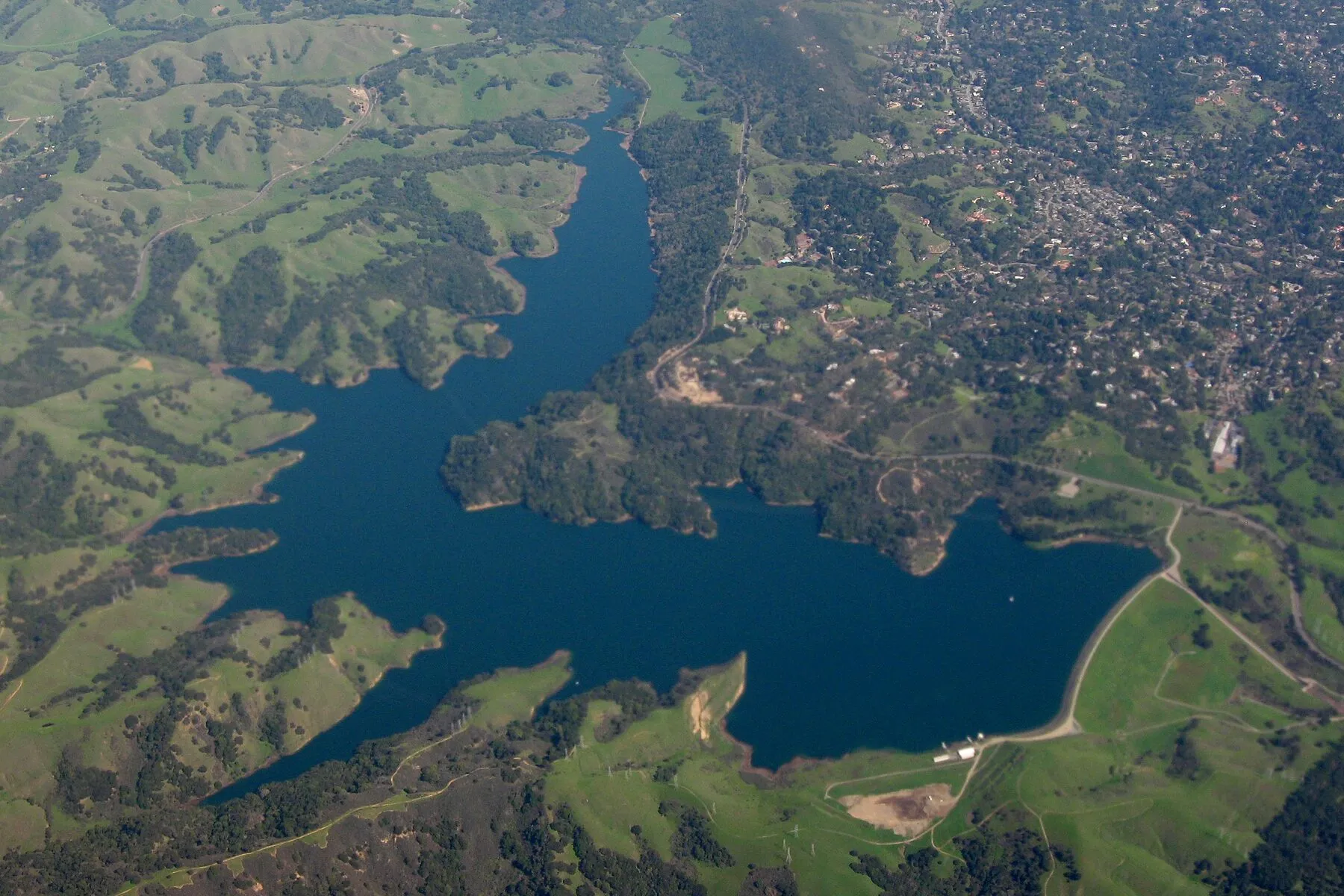
The first stop past the Caldecott Tunnel, with parkland on every side and BART to San Francisco in about twenty minutes.
Contra Costa County
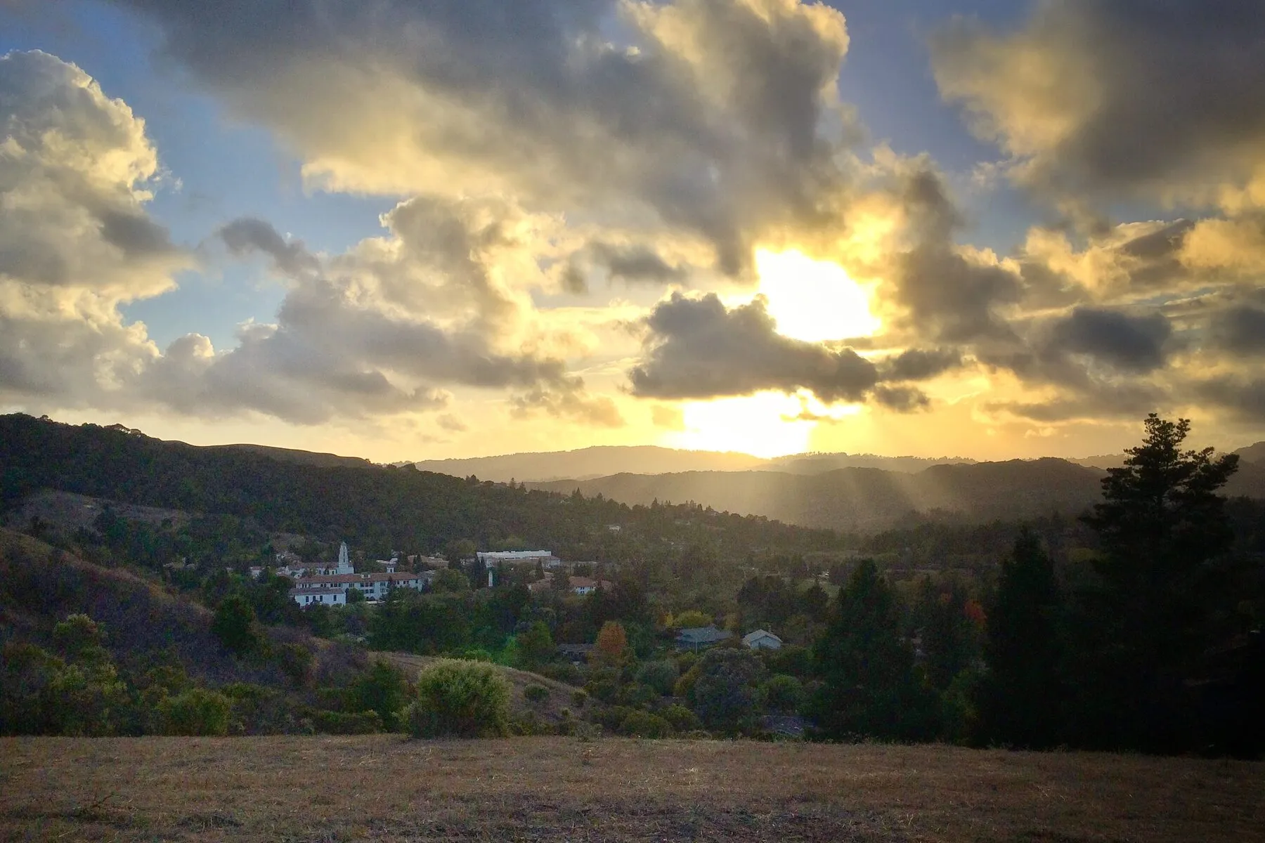
A college town in a bowl of hills, with no freeway through it and a rail-trail instead.
Begin
A quiet first conversation — about your timing, your home, and what you want next.