
Contra Costa County
Pleasant Hill
Between Concord and Walnut Creek, with a college, a built-from-scratch downtown, and the Iron Horse Trail through it.
 Keller Williams Realty East Bay
Contra Costa County
Two freeways, BART three blocks from downtown, and a ridge trail fifteen minutes east.
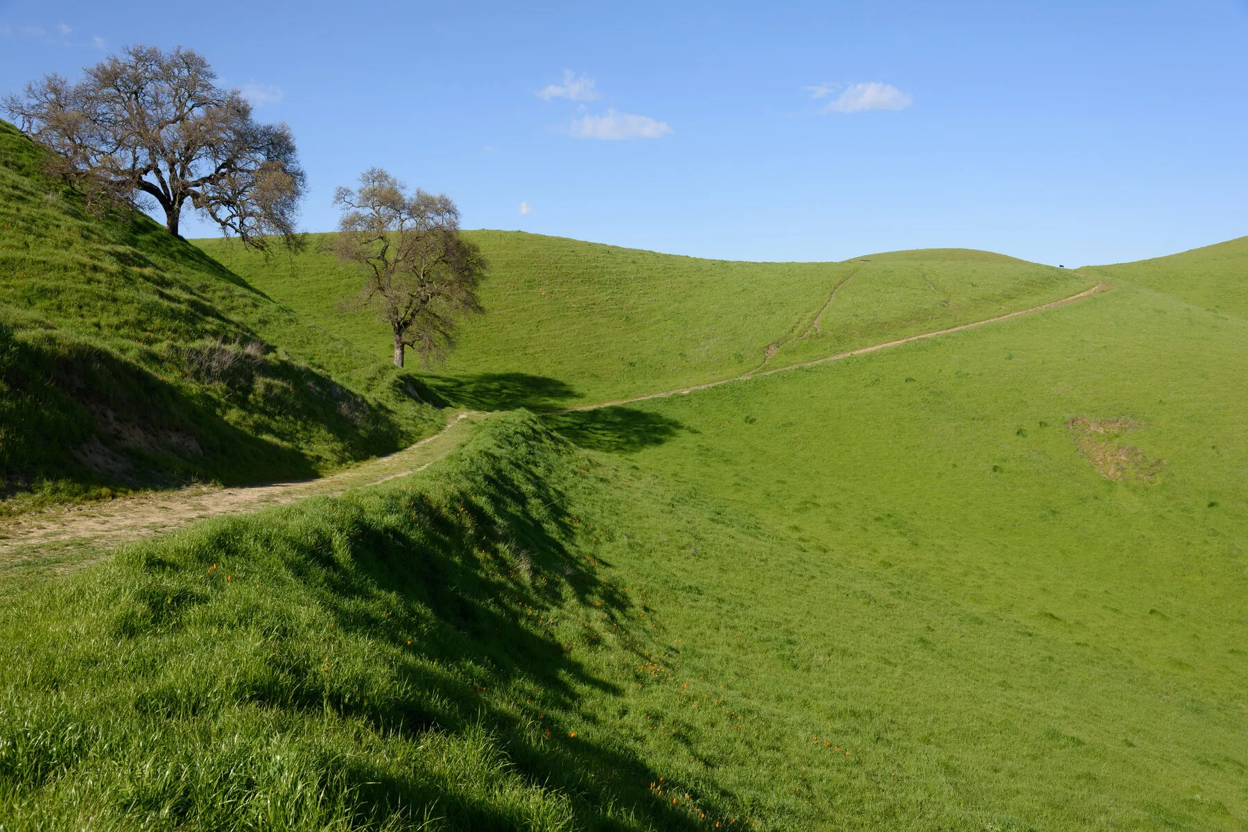
Photo: King of Hearts CC BY-SA 4.0
I-680 and CA-24 meet here, and that explains most of Walnut Creek. It is where central Contra Costa comes for dinner, a show, or a Saturday: a compact downtown with BART three blocks from the middle of it. Fifteen minutes east, a ridge trail looks back over the whole valley.
Northgate sits northeast toward the mountain — and it is Mt. Diablo Unified, not the Walnut Creek and Acalanes districts covering the rest of the city. That one catches people out. Walnut Heights is just south of downtown. Saranap, heading toward Lafayette, is county rather than city.
District lines do not follow city limits here, so it is worth checking for any specific address.
On the map
Map of the service area. The towns are linked below.
Nearby
Contra Costa County
Between Concord and Walnut Creek, with a college, a built-from-scratch downtown, and the Iron Horse Trail through it.
Contra Costa County
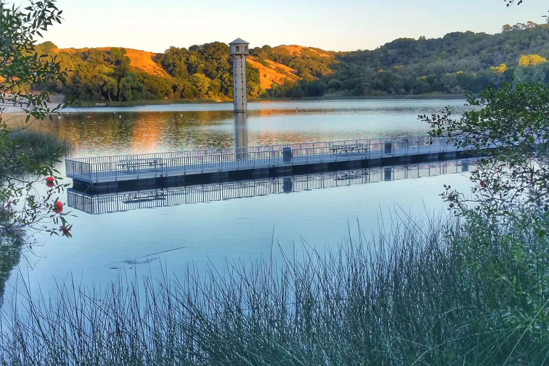
A reservoir loop, a downtown along Mt. Diablo Boulevard, and BART about thirty minutes from Embarcadero.
Contra Costa County
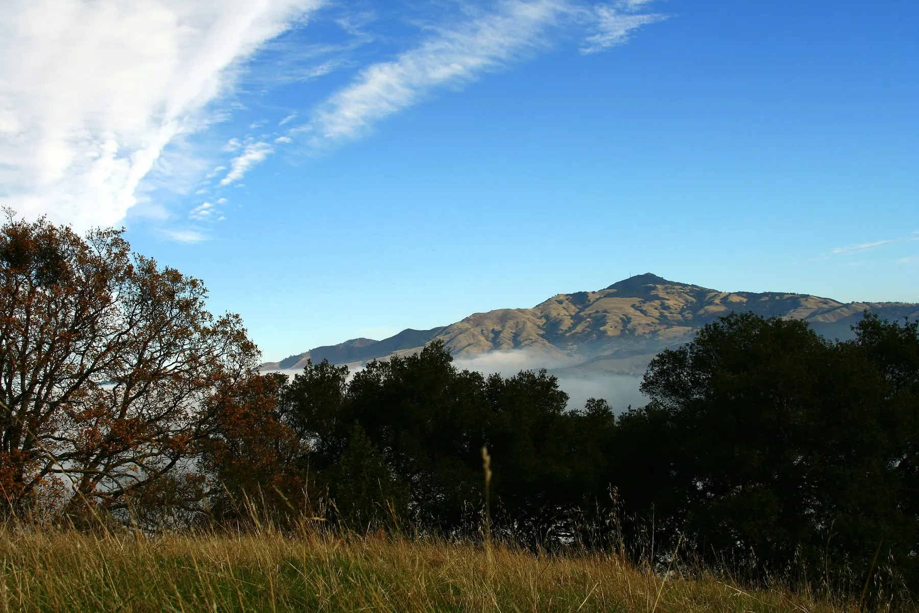
Unincorporated and low-density, between Walnut Creek and Danville, with the Iron Horse Trail running through.
Begin
A quiet first conversation — about your timing, your home, and what you want next.